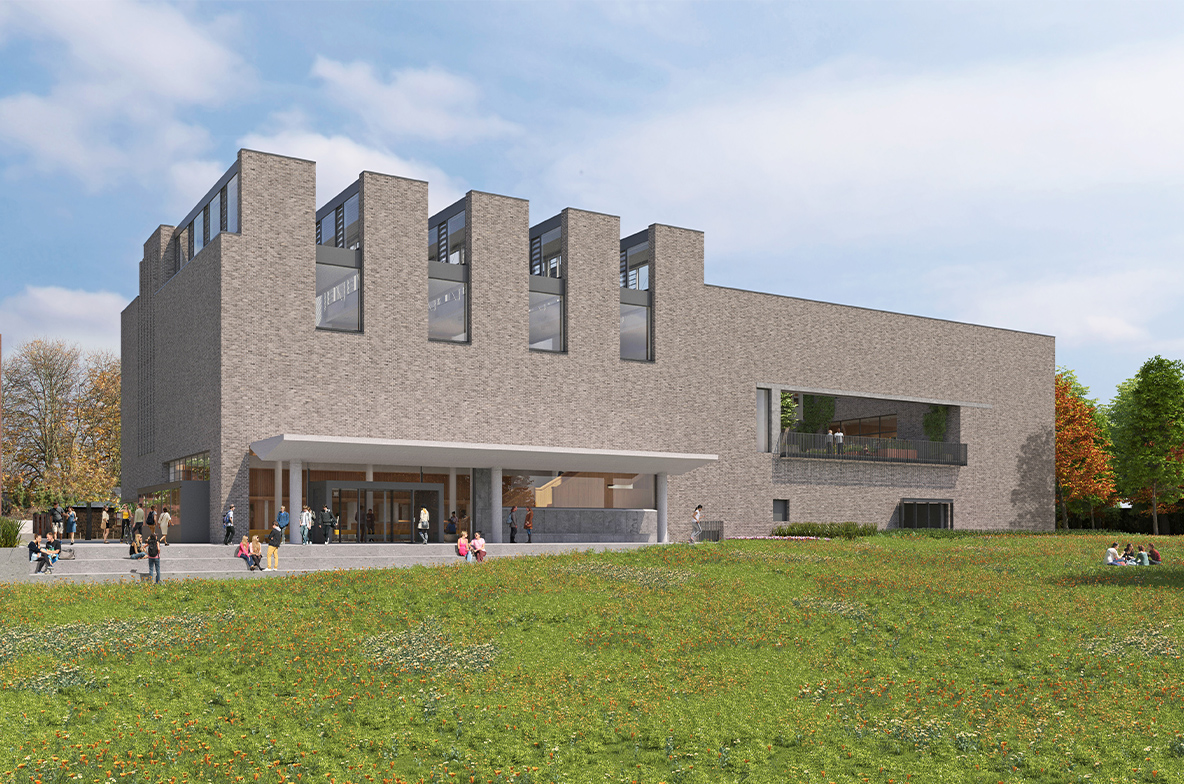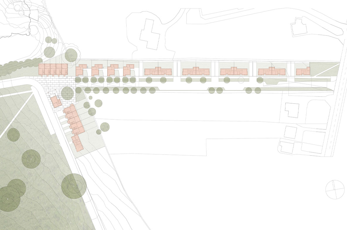
Masterplan Clonmacken
2005, Limerick, Ireland
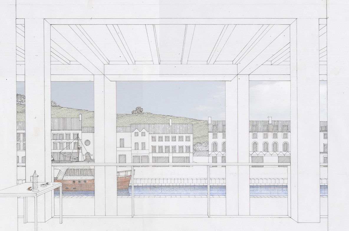
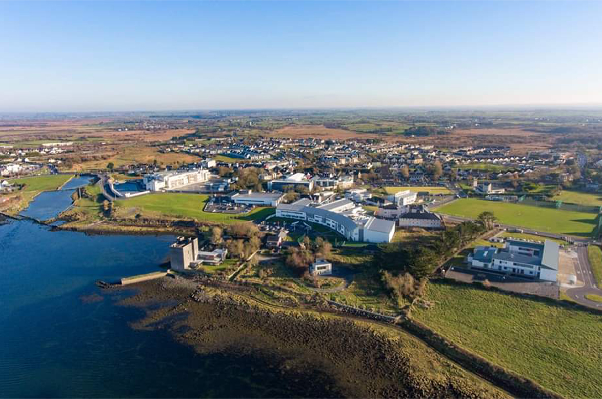
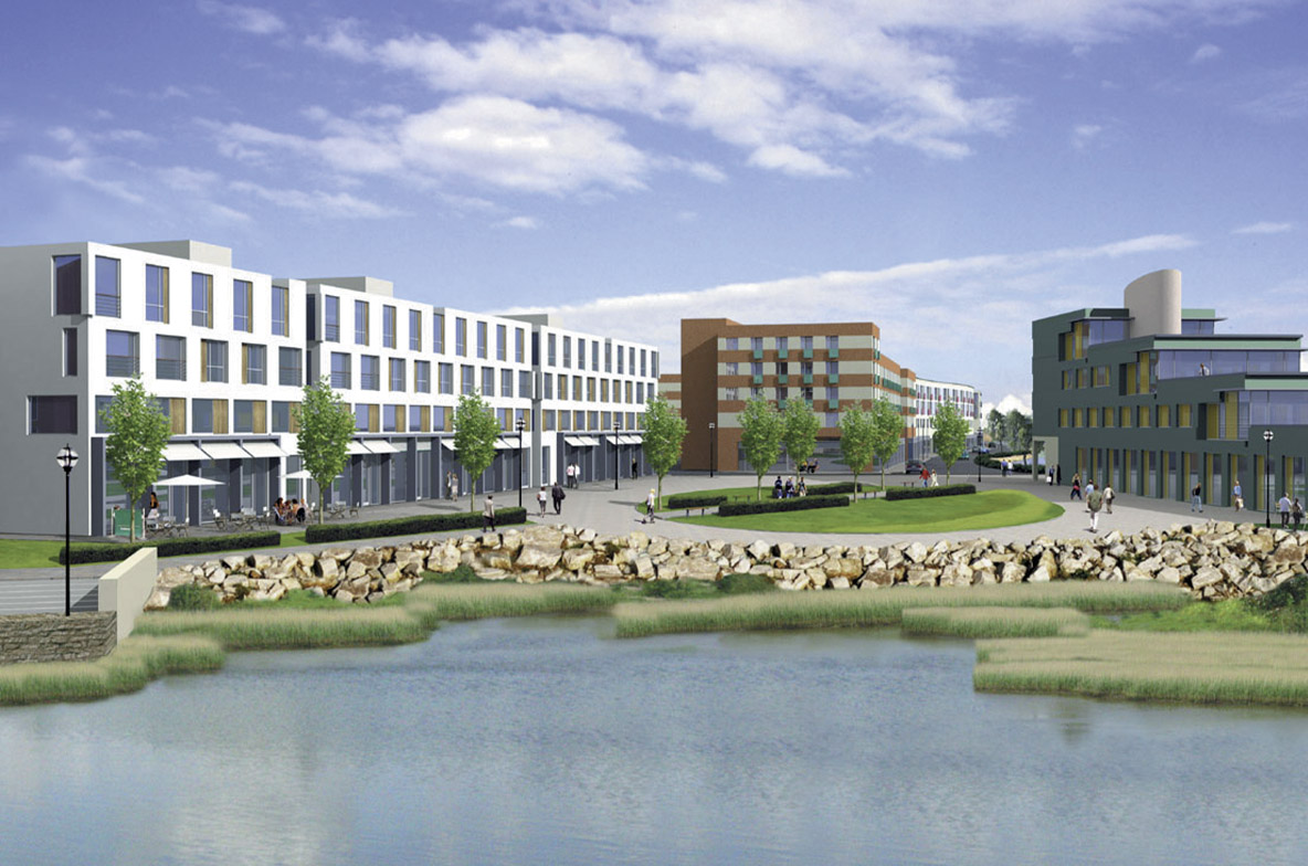
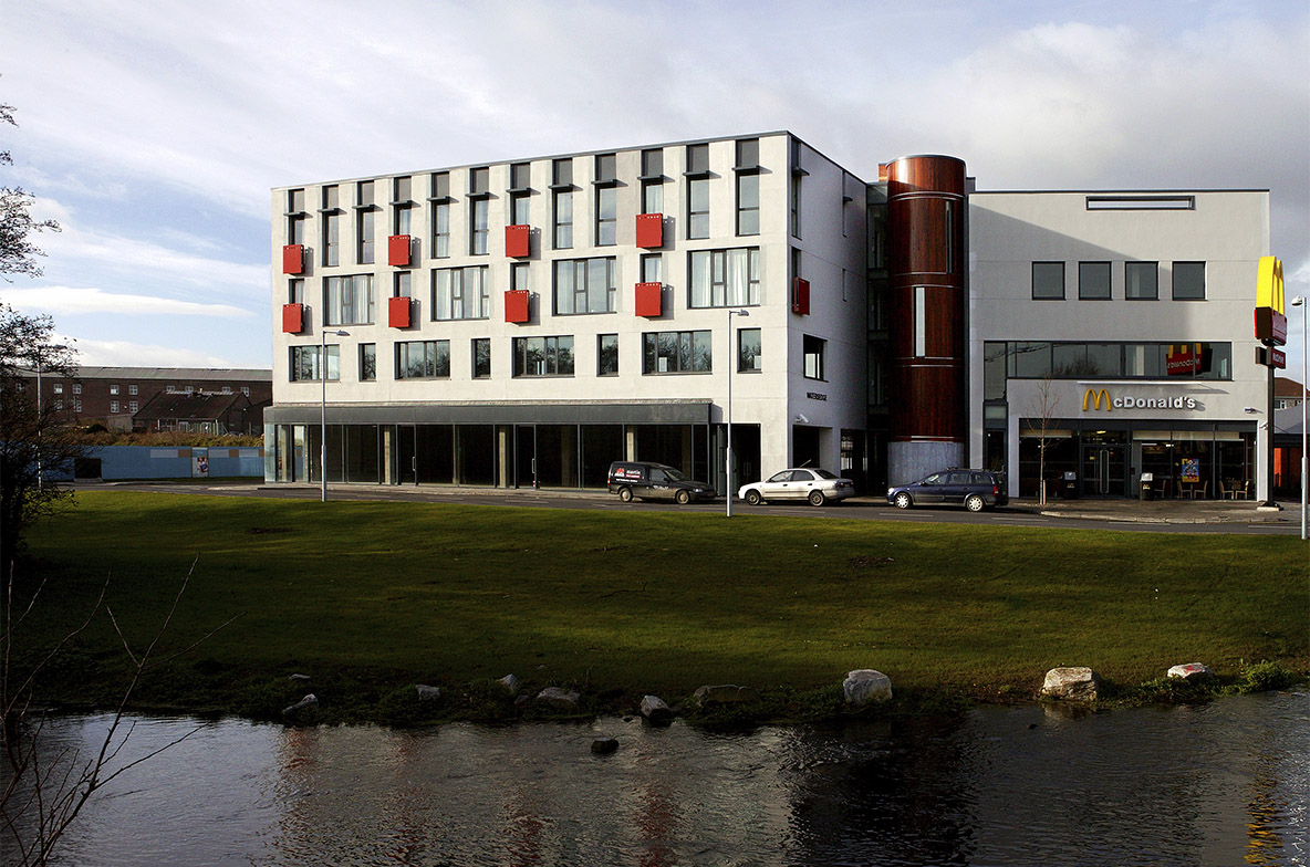
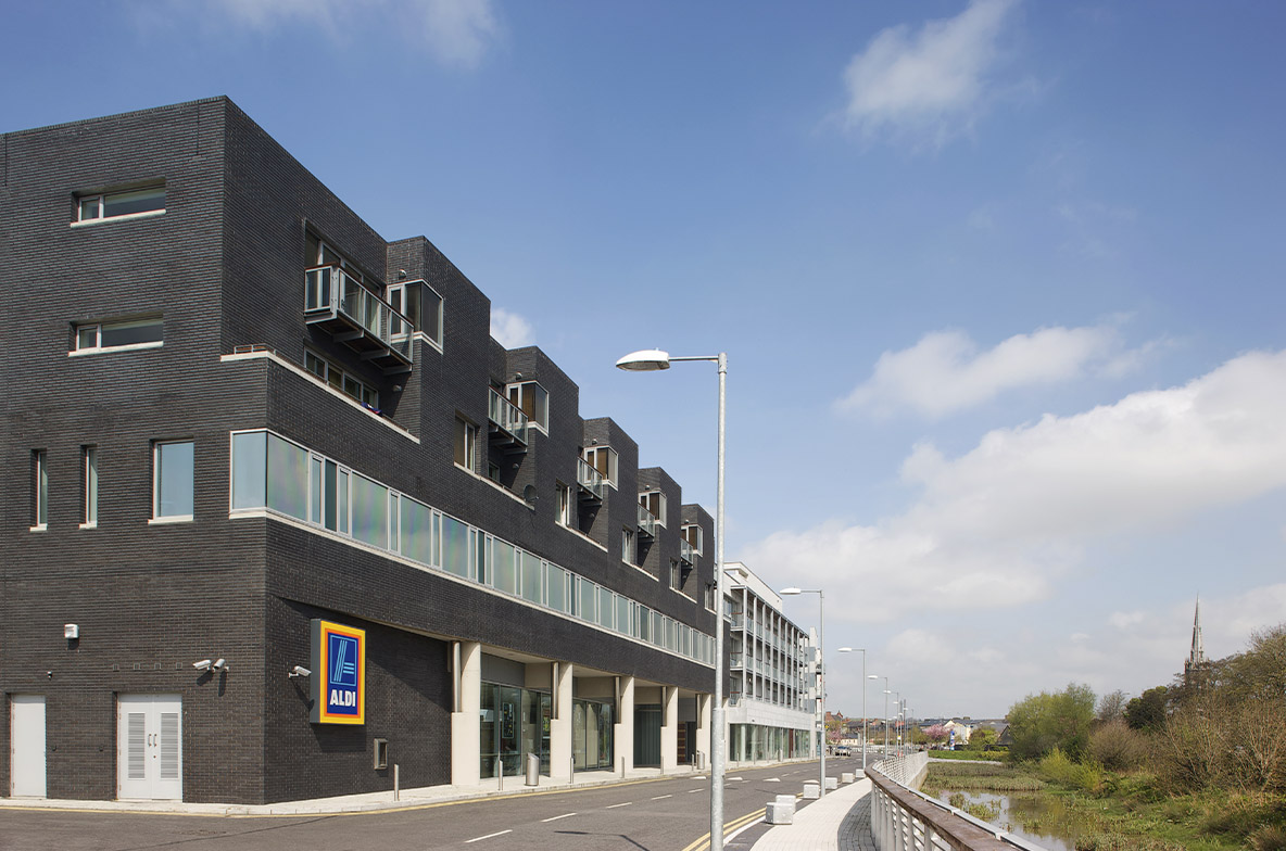
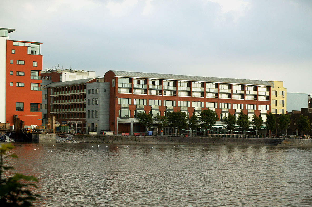
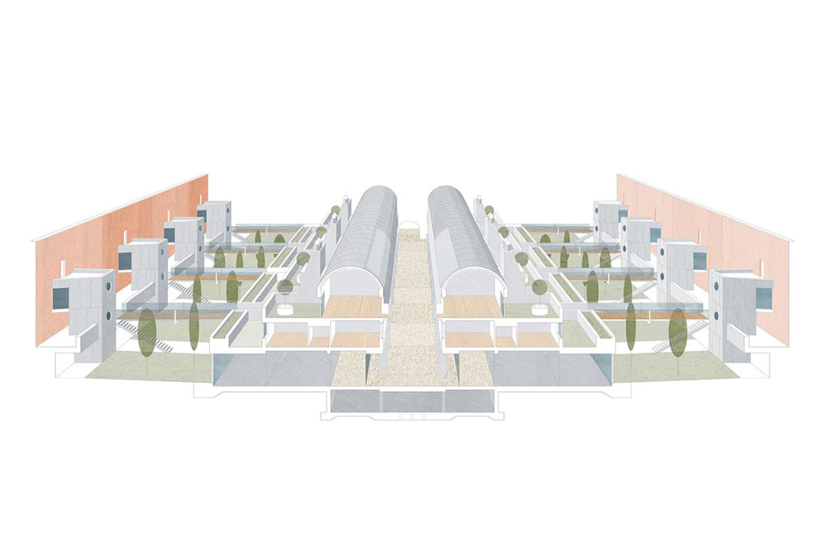
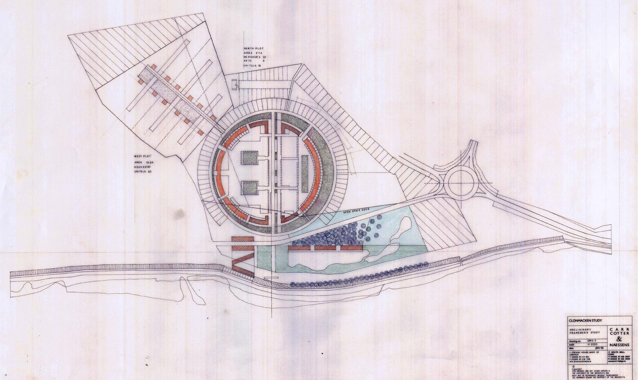
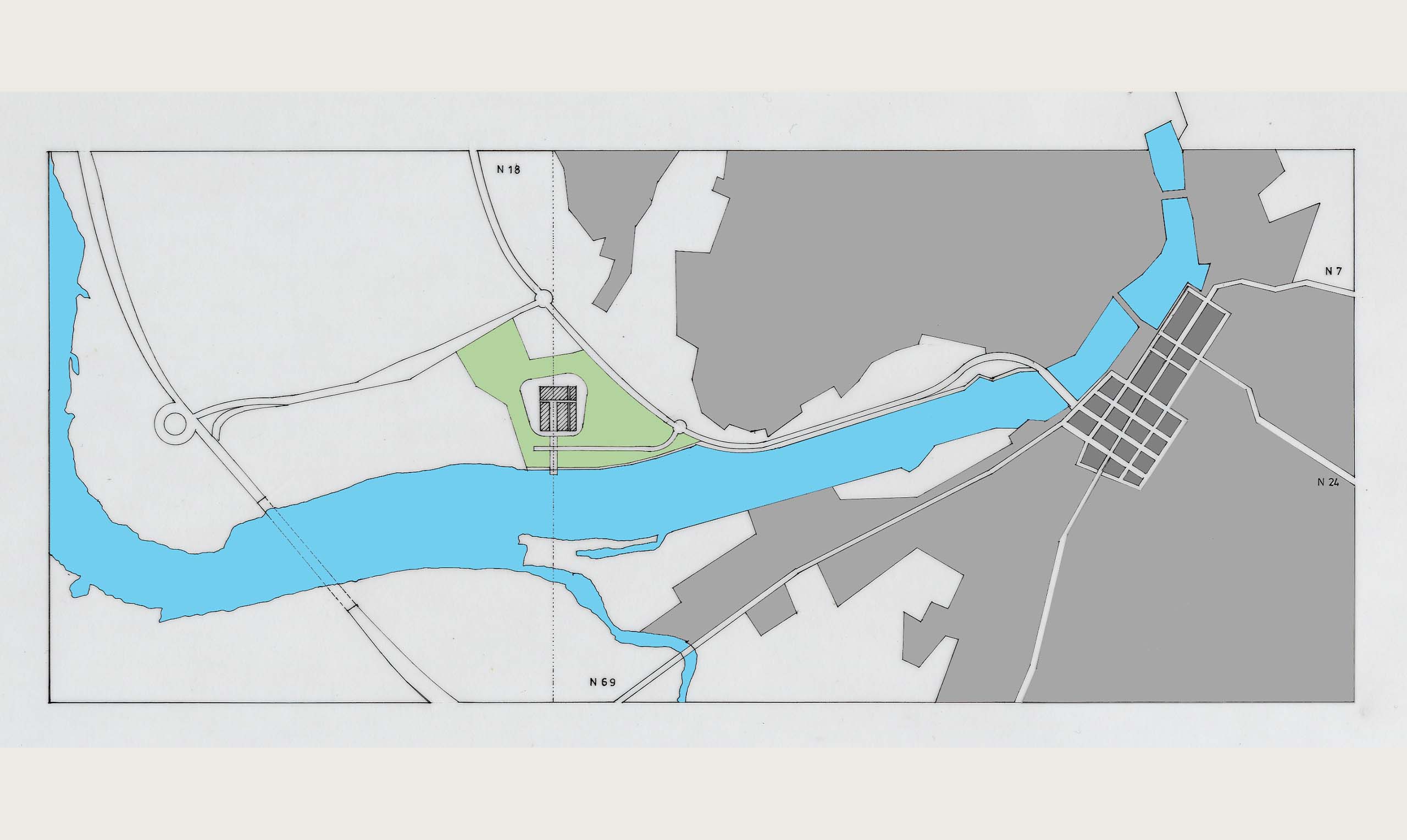
The site at Clonmacken is on the northern bank of the river Shannon and is bounded to the east by Condell Road, which connects the site to Limerick city and its orbital network. The southern boundary to the river is defined a man-made dyke, popular with walkers. CCN were commissioned to produce a masterplan for the site that would inform a sustainable model for future development. The design strategy was based on a number of key interventions:
Retain a zone of wetland behind the dyke as a green buffer zone
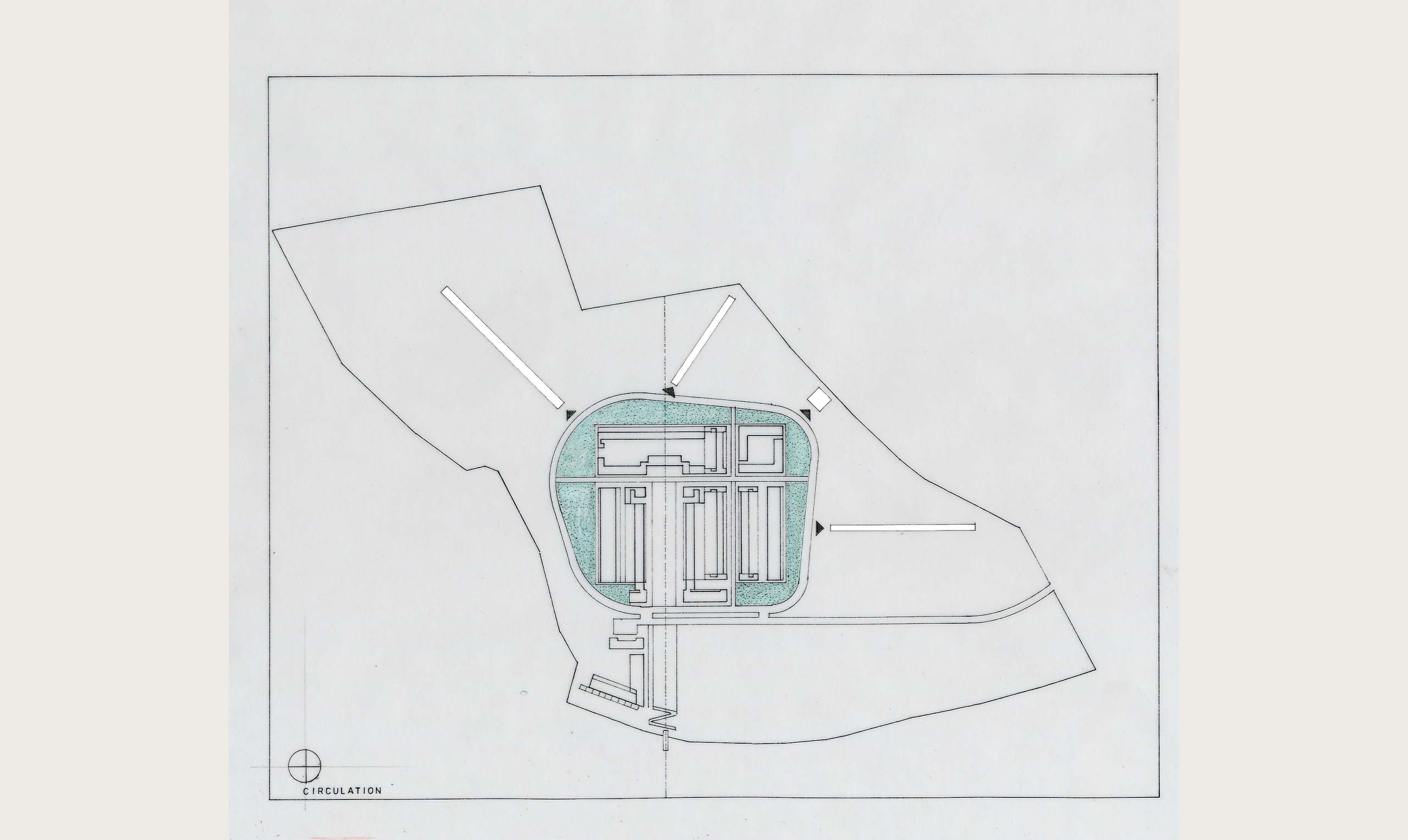
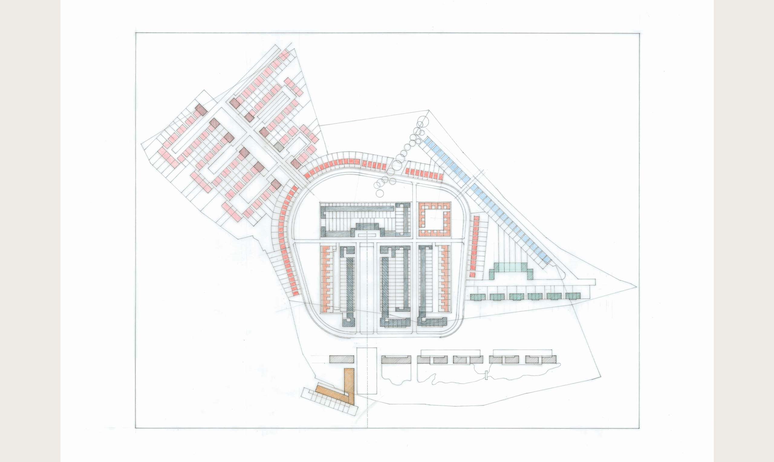
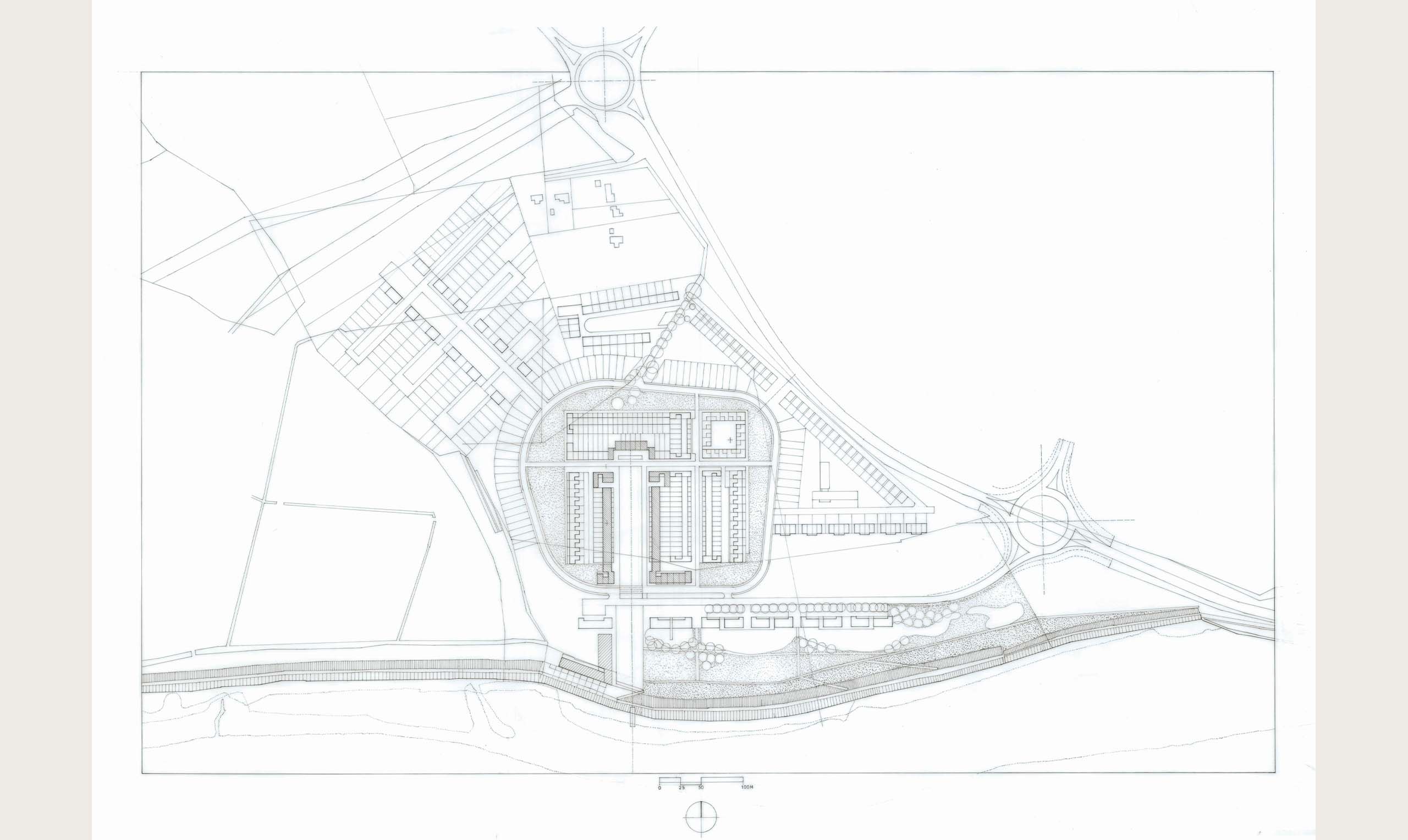
A north south axis extends from the river into the site and provides an ordering device for buildings, neighbourhood amenities, on each side
A new avenue parallel to the river connects into the proposed roundabout: buildings define one side of the avenue, retaining views of the river
A loop road around the site circumscribes development areas,
A cruciform grid is overlaid to make neighbourhood quarters
Continue Reading
+The masterplan provides a clear hierarchy of spaces and circulation routes and distinguishes between the natural landscape, retained as a wetland for attenuation, and the built landscape.
Other Projects